
Day Four Photos
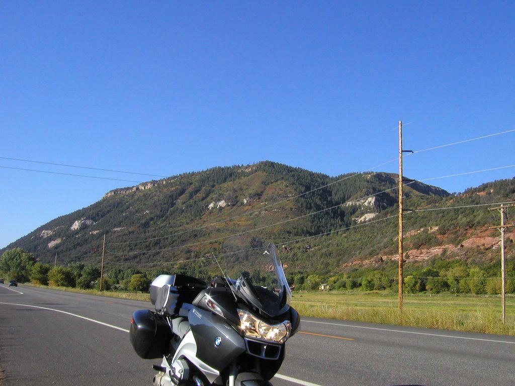
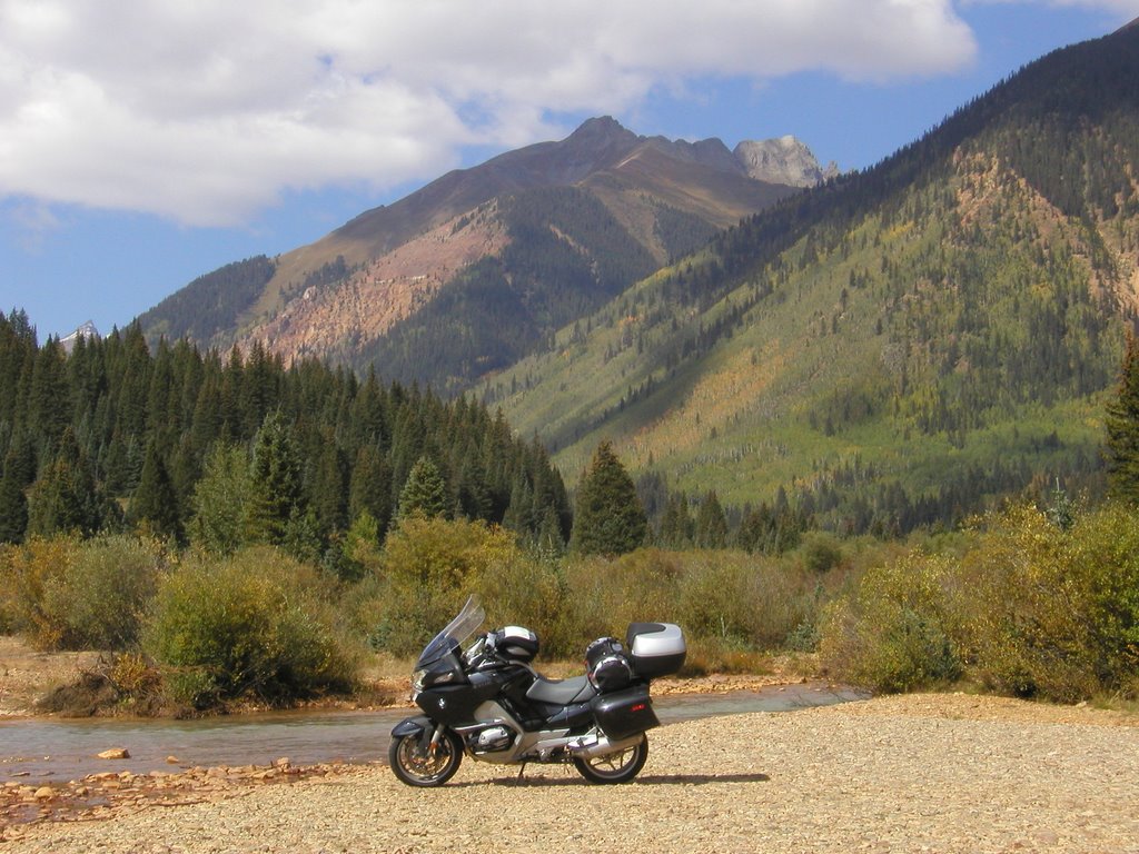
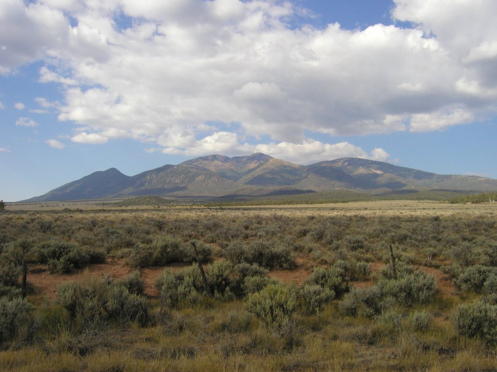
 Sunlight Peak, elevation 14,059, near Trimble, Colorado
 Coming into Hermosa there was road construction which slowed me down enough for me to see this view of Sunlight Peak and stop for what turned out to be a rather nice shot.
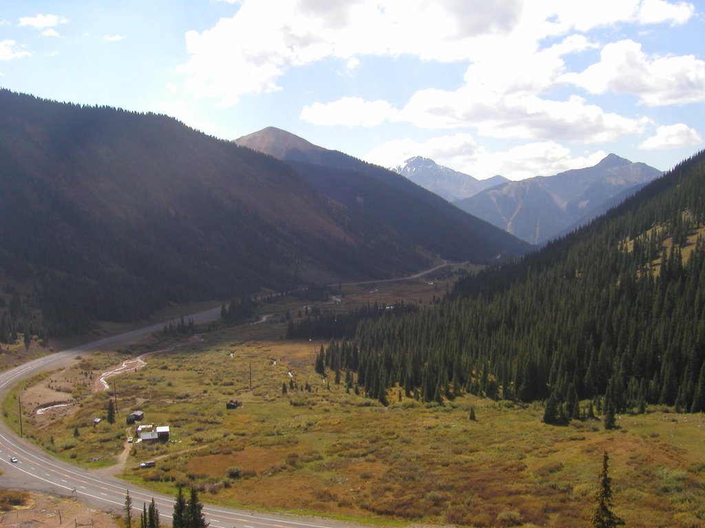
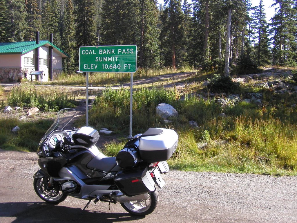 The first pass of the day was Coal Bank Pass and as you can see it is way up there.
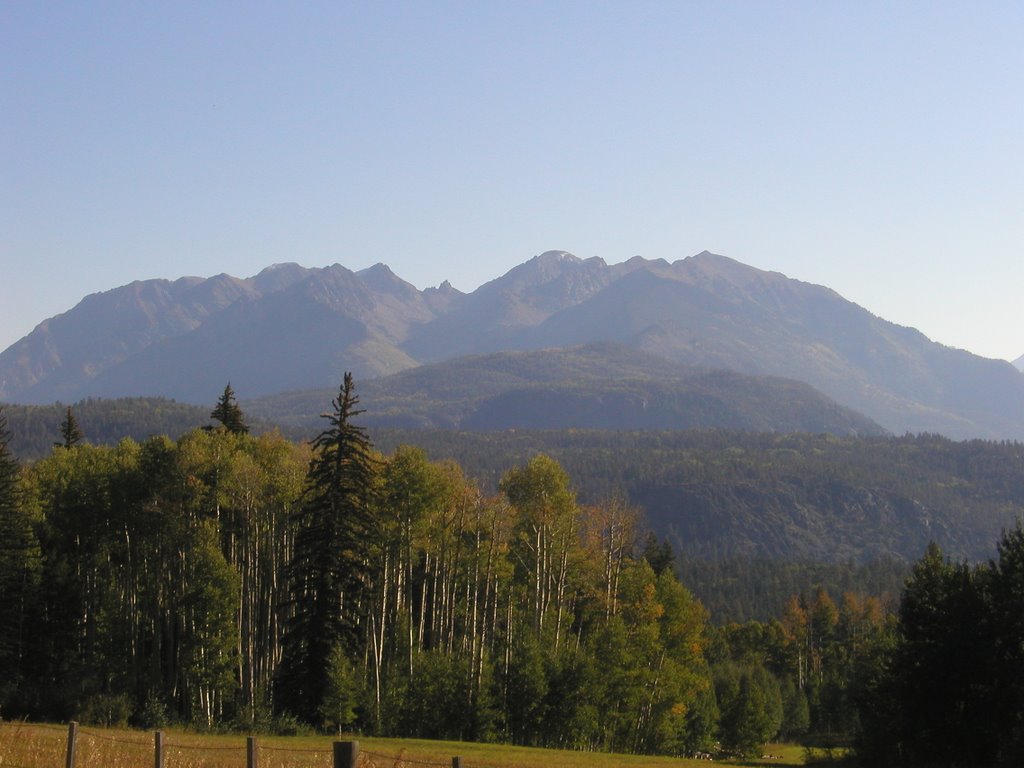
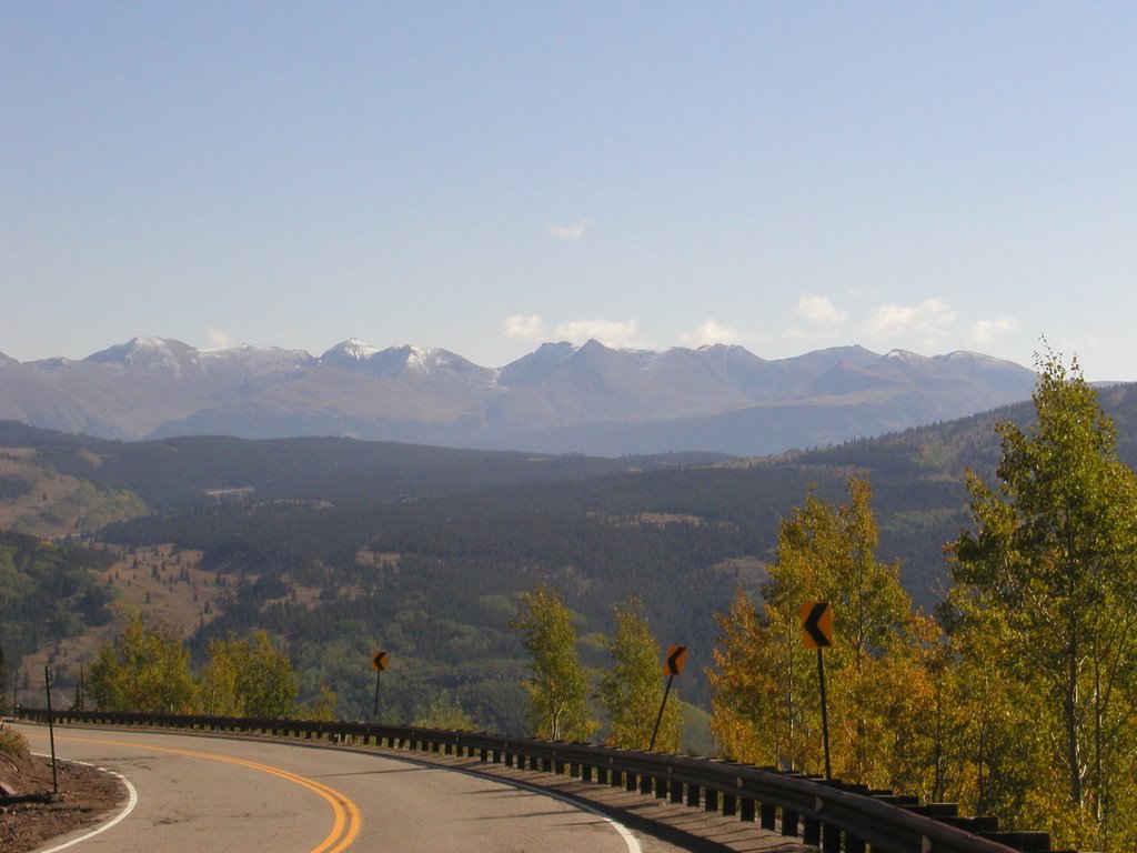 I think this is Pole Creek Mountain, elevation 13,716. I know this is the road just after Coal Bank Pass on the way to Molas Pass.
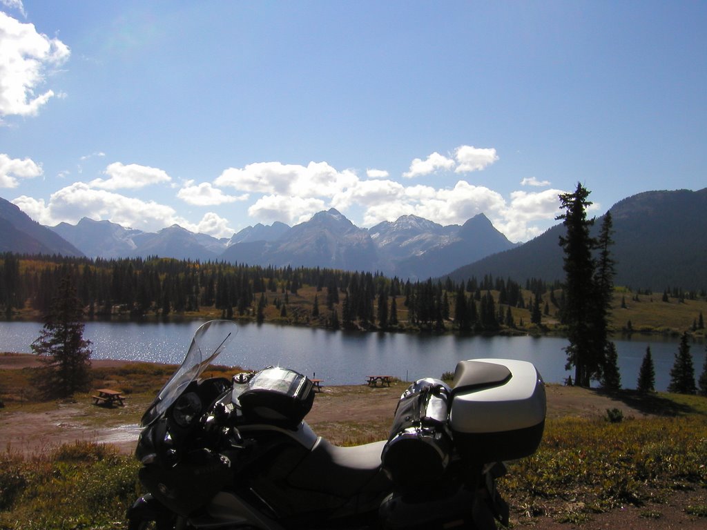
This is Pole Creek Mountain just after Molas Pass
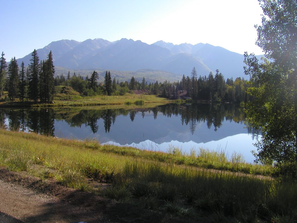
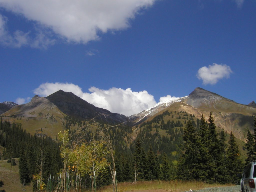
 This is a view of the mountains in which Redcloud Peak, elevation 14,034 ft. is located.
 This is the canyon wall from a creek bed of a tributary to the Animas River about two miles north of Silverton, Colorado
 A photo on the same creek bed looking west.
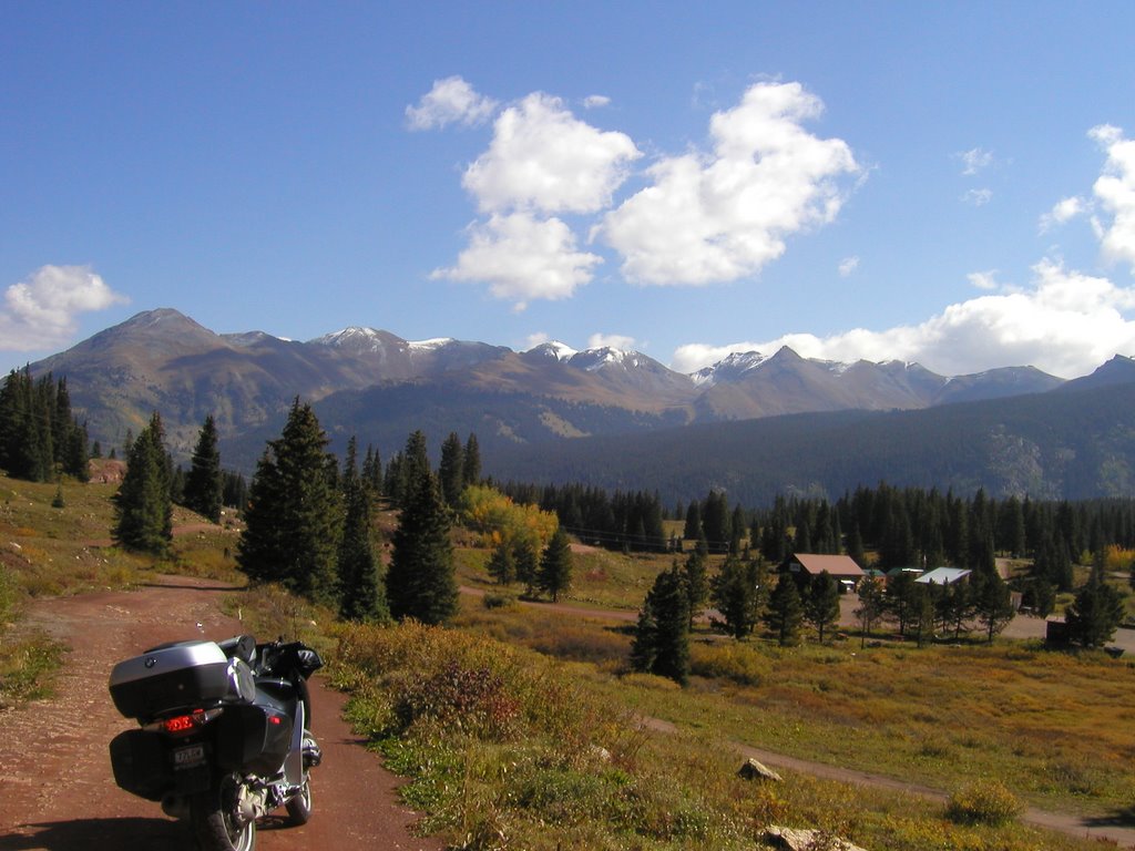
 I am not sure which mountain that is in the background but this was a look back down the valley after negotiating a hairpin switchback and climbing towards Red Mountain Pass.
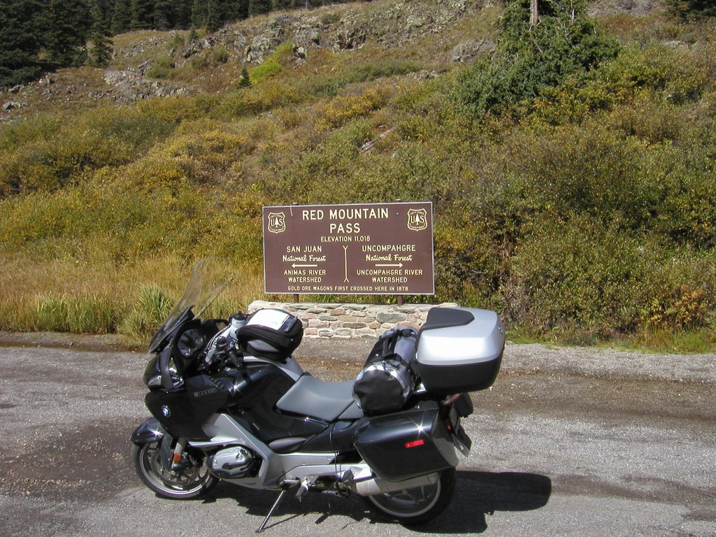 And, Red Mountain Pass which is probably the highest pass of the trip if I do not change my route AGAIN!
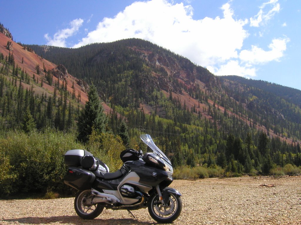
 I am not sure what mountain or peak this is but I like the photo.
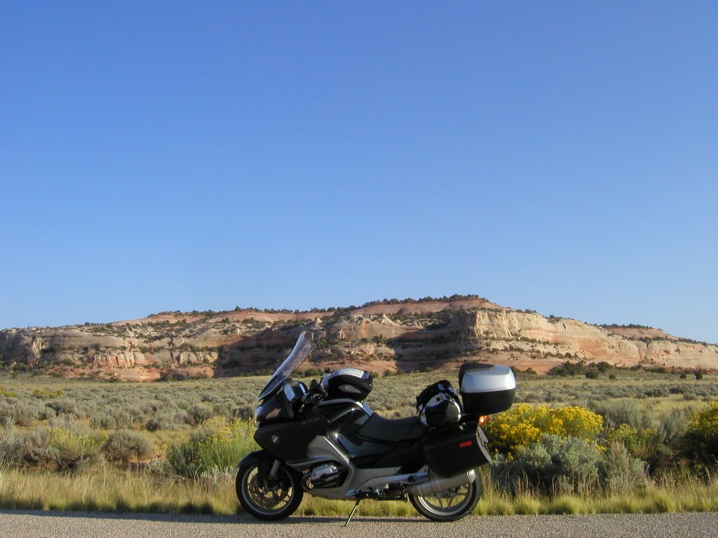
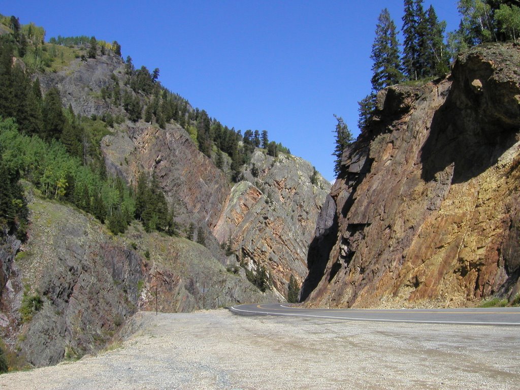 This is after Red Mountain just south of Ouray .... Hey, where did the road go? The ride from Red Mountain Pass to Ouray took me through gorges with vertical walls and this was one of the few pull-offs where I was able to snap a photo.
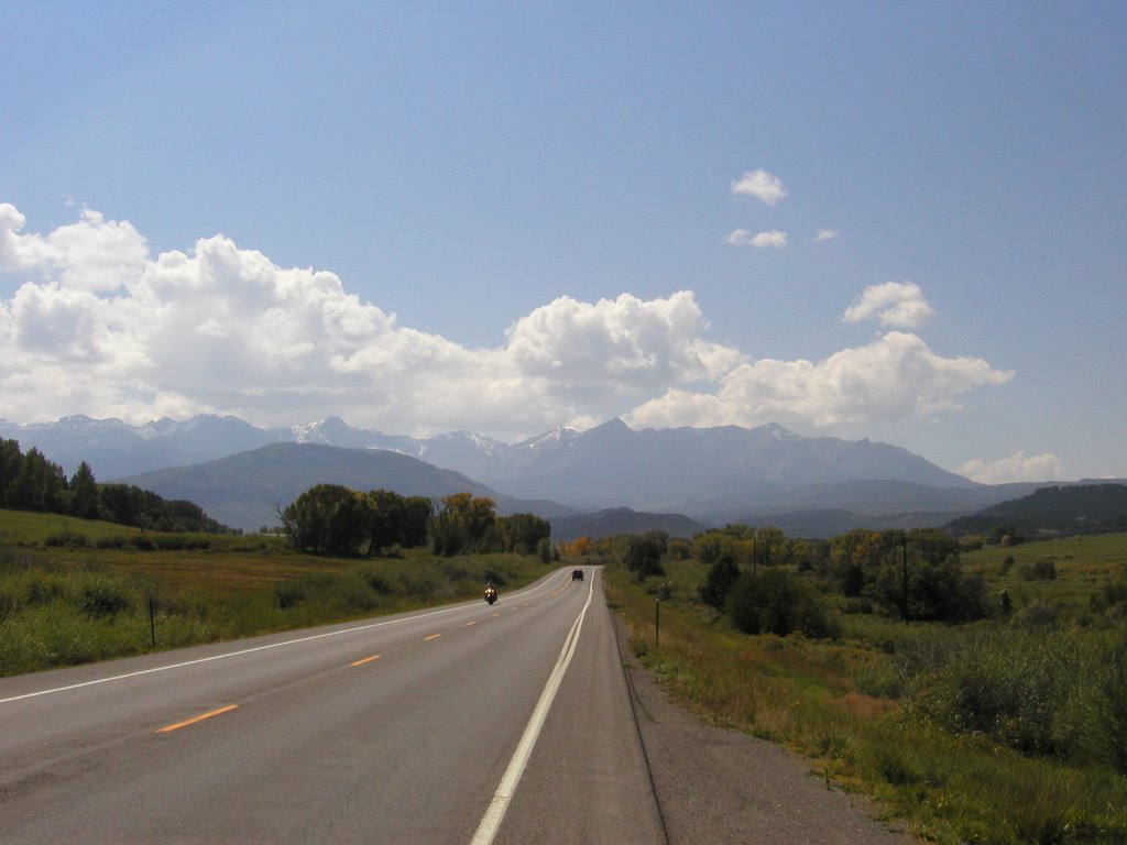 Out of the mountains and on the way to Utah. This looking up at the mountains along route 62 just west of Ridgway (No, I did not spell that wrong!!)
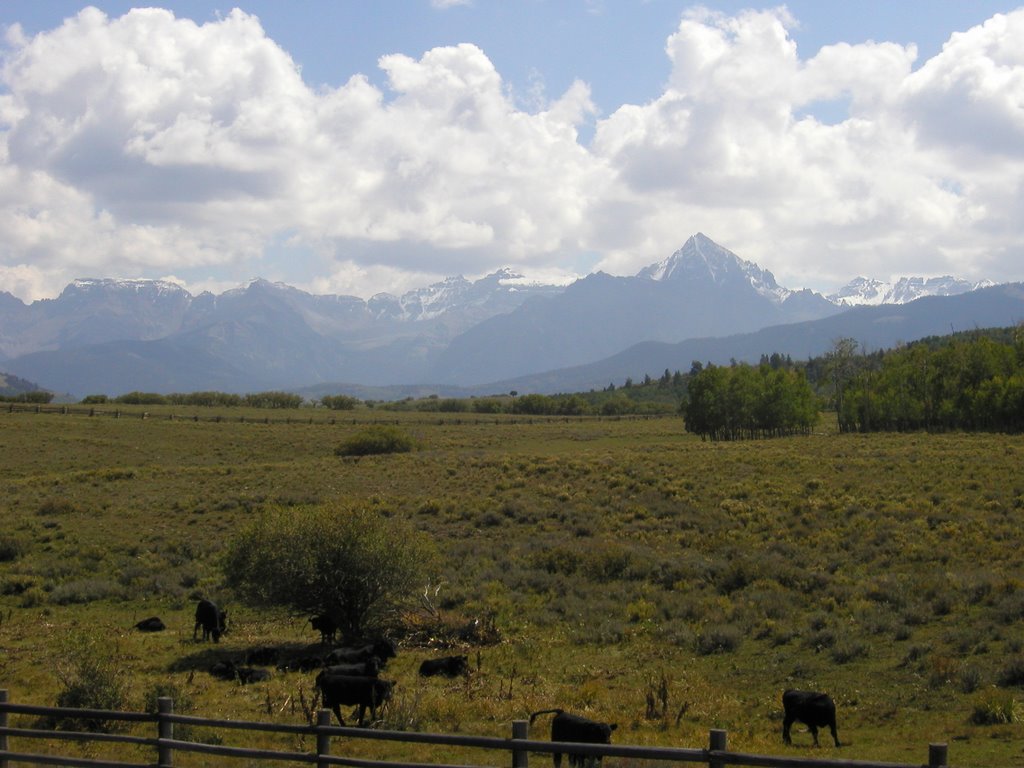 A shot of the mountains across a pasture along route 62 west of Ridgway.
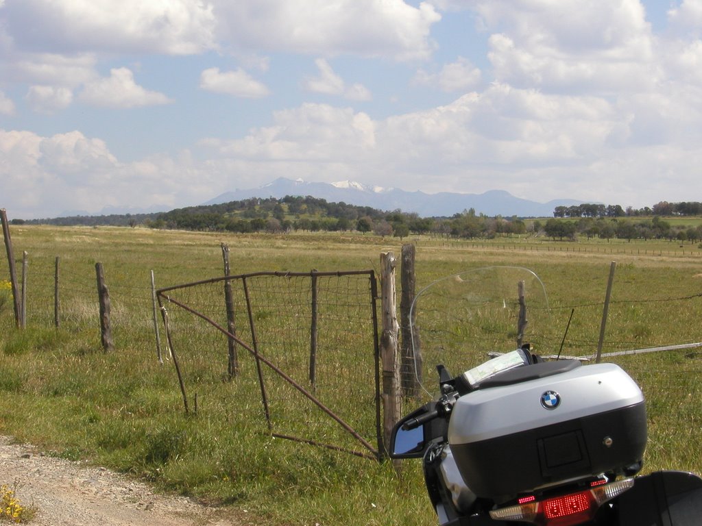 And one last look at the mountains in the background. I like the ragged farm gate.
 This is the grand metropolis of Bedrock. I stopped here to empty the memory card of the camera into the computer so that I could take photos in Utah. This town is on the Dolores River along route 90 just east of the Utah / Colorado border. Other than the post office which is a 20' by 20' shack, this along with the houses of the other 19 residents makes up the town. I spoke to the proprietor who hails from Iowa and is looking to sell the place ....... if anyone is intersted.
 Ah, finally in Utah. This is a look at the La Salle mountains from the road leading to the Needles Overlook point in the Canyonlands National Park.
 A rock formation along the road to Canyonlands.
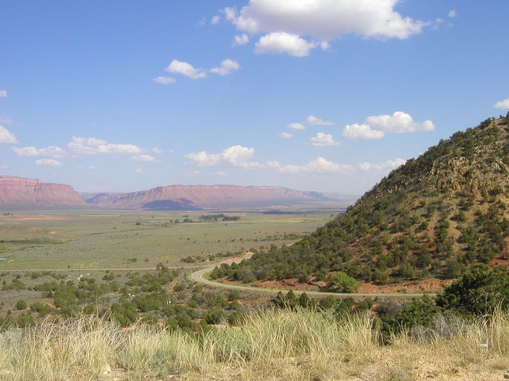 This is looking east into Colorado just west of Paradox, Colorado.
 A view of Canyolands from Needles Overlook.
The La Salle Mountains along route 46 in Utah just west of La Salle.
There are a lot more photos but these tell the story for the day quite well. It really was a day of natural splendor and I know that I want to come back to spend more time in the mountains instead of simply riding through. I did stop often, turn off the motor and take off my helmet to listen to the sounds of the mountains. It was a whisper of the wind accompanied by rustling leaves, the occasional buzzing bee that combined to make the song of the mountain; a soundtrack to views of overwhelming splendor.
posted by Bongo | 6:28 AM
![]()
![]()
0 Comments:
Post a Comment
<< Home