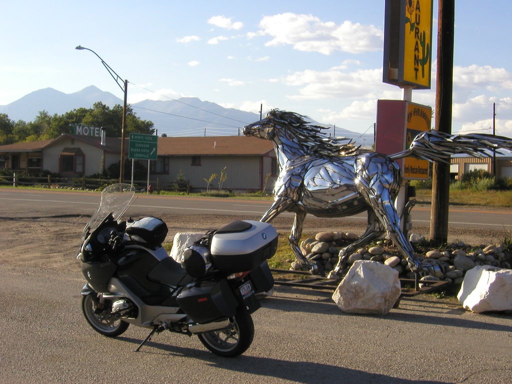
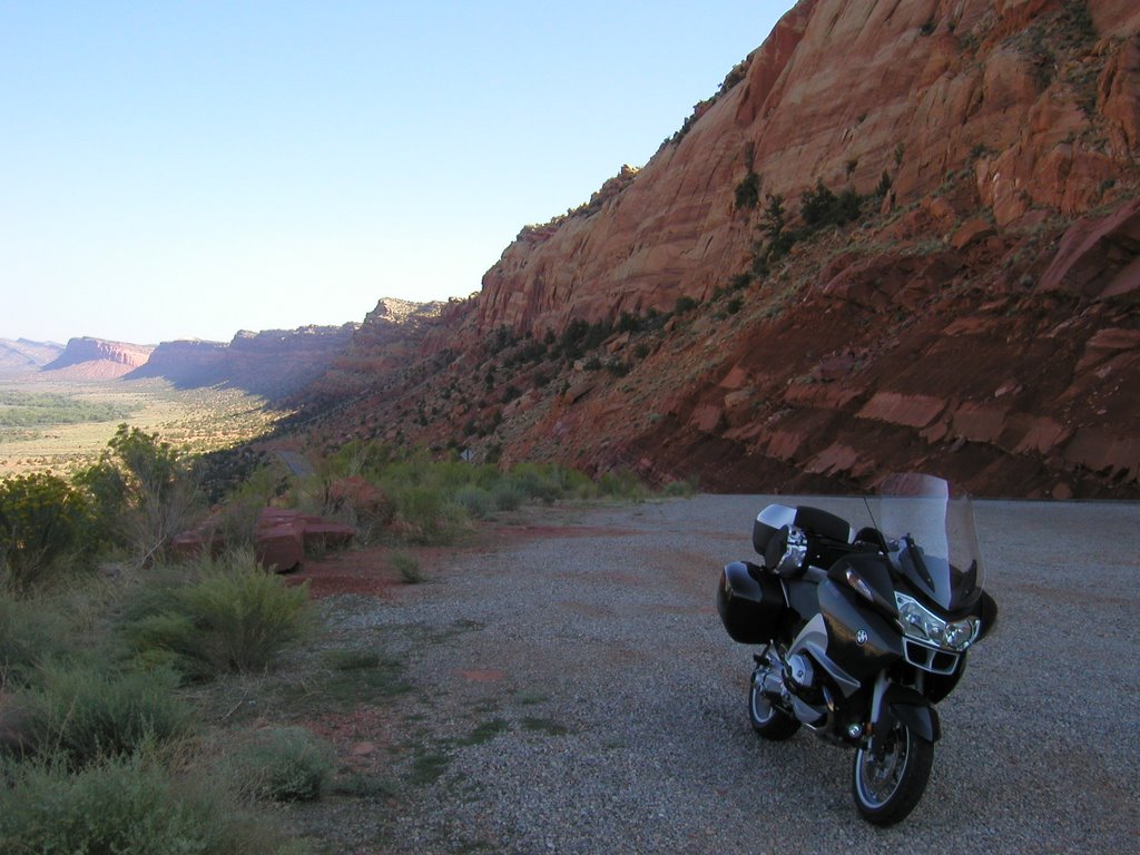
Day Seven - Kansas Crosswind
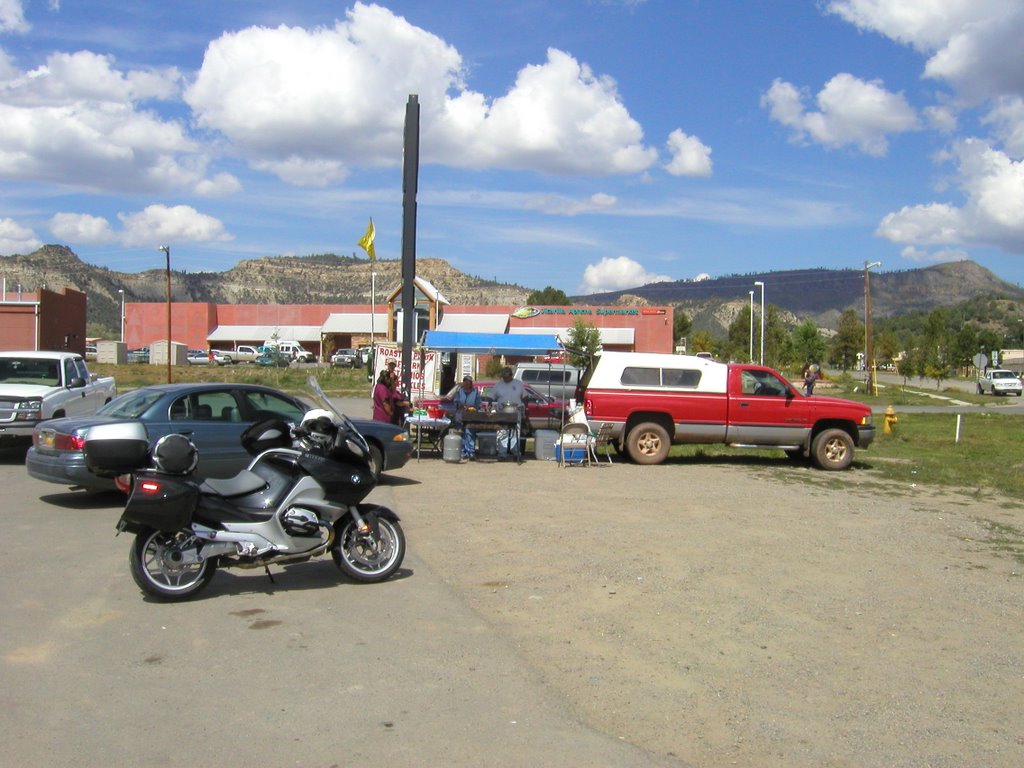
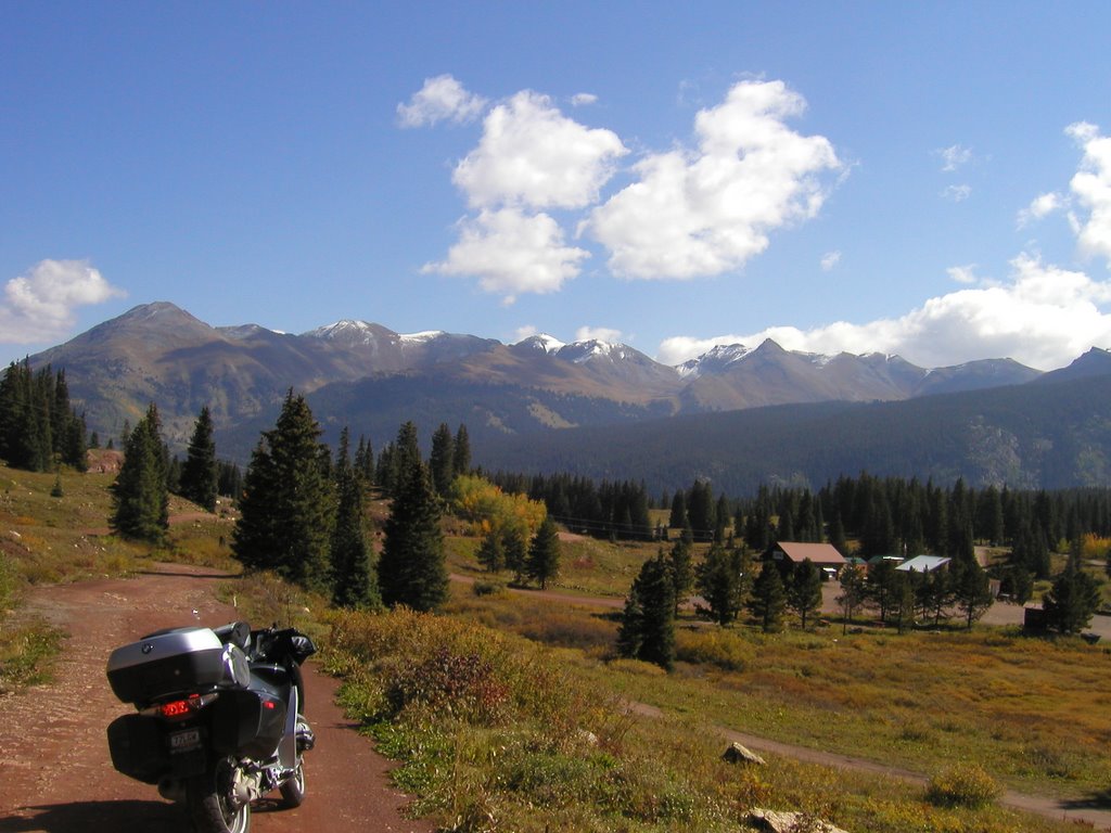
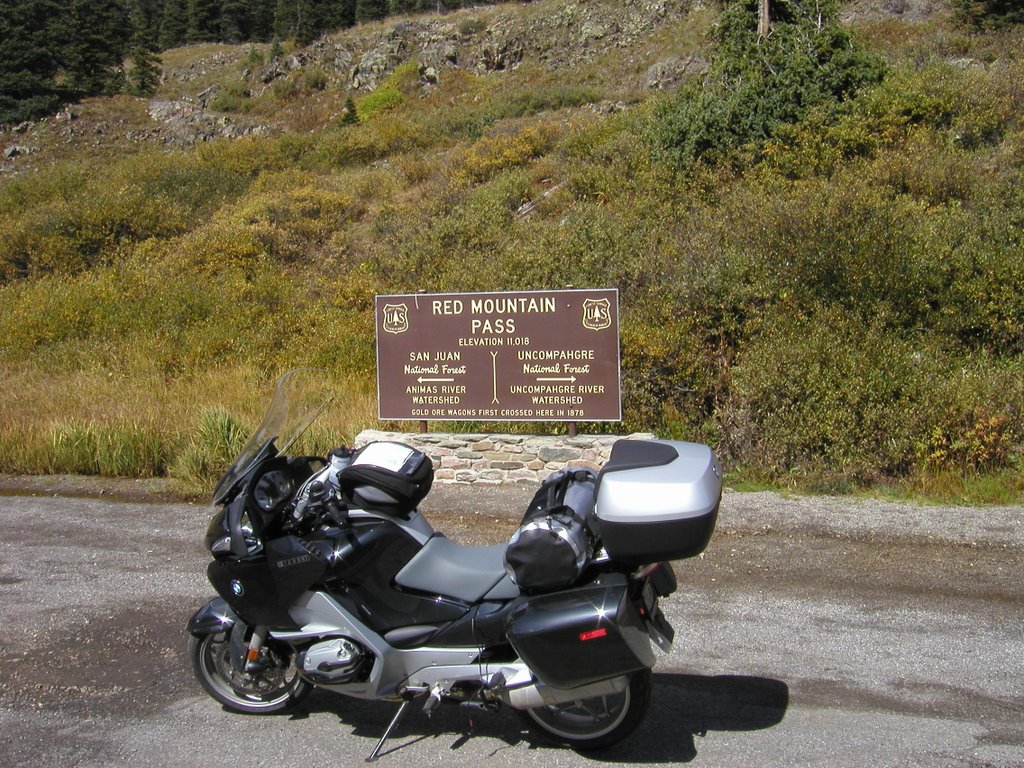
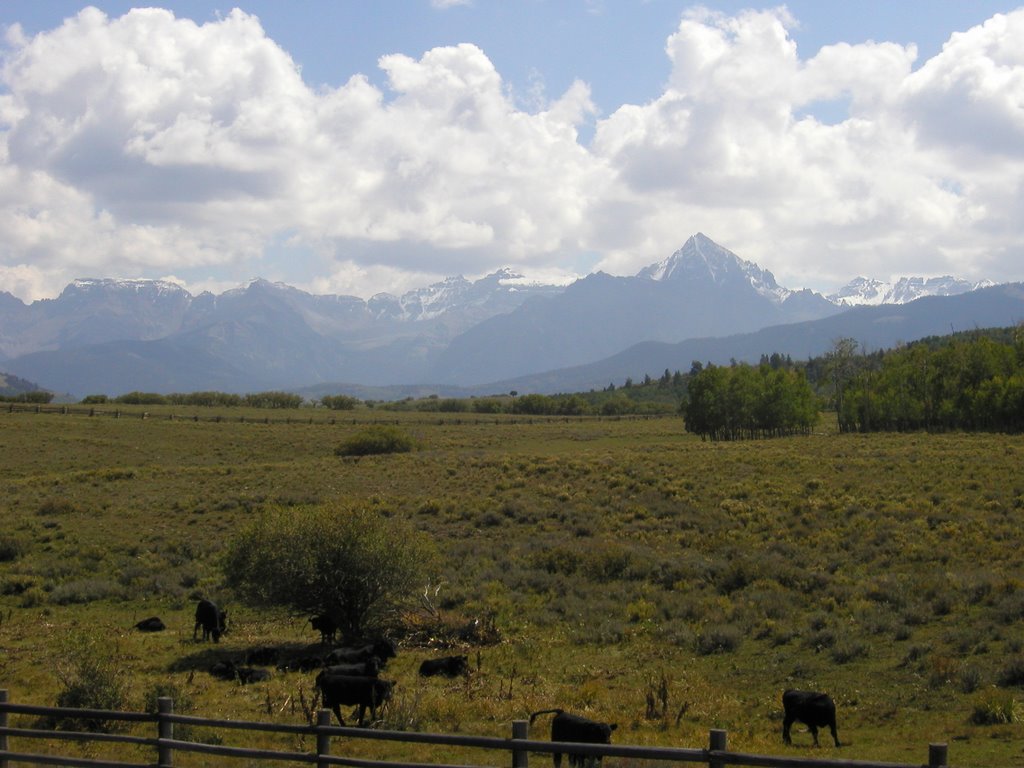
I had arrived in Colorado Springs the previous evening after having watched the sun dip over the horizon just west of Pueblo, Colorado. On arriving I inquired about recommended eating spots and was directed to a Subway a couple of lights down. I had been determined to get a good meal when I arrived in this town but things worked out such that it would not be possible so Subway it was. Fortunately, the Subway store was in the same strip mall as a state store so I was able to pick up some barley and hops with which to wash down the sandwich.
I took my time eating and whiled away some hours thinking about the mountains and all that is left unseen. Finally I got myself in bed and zonked off into a night of deep sleep – which I needed considering I had a little over 850 miles to do the next day.
When I woke up in the morning I had no desire to leave, no sense of urgency and moved at the speed of a sloth. I did not get on the road until a little after 8:00 and that meant that it was 9:00 where I was going; I already was two hours late getting on the road plus an hour with the time change across time zones ........... I was agitated from the start.
Leaving town in a state of agitation, I paid more attention to the traffic than the road signs and missed my turn, realizing only about 10 minutes later that since I was back tracking through Colorado Springs all of this should look familiar and none of it did. I was on a divided thoroughfare so I had to look for a side street at a light for an opportunity to turn around. I soon did so and was back on my route having killed an additional half hour.
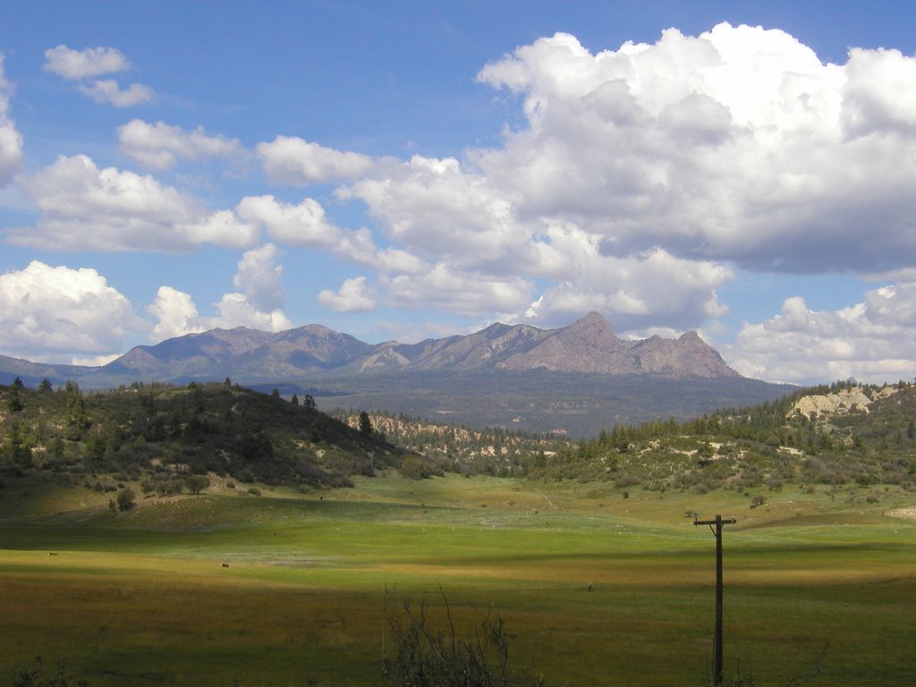
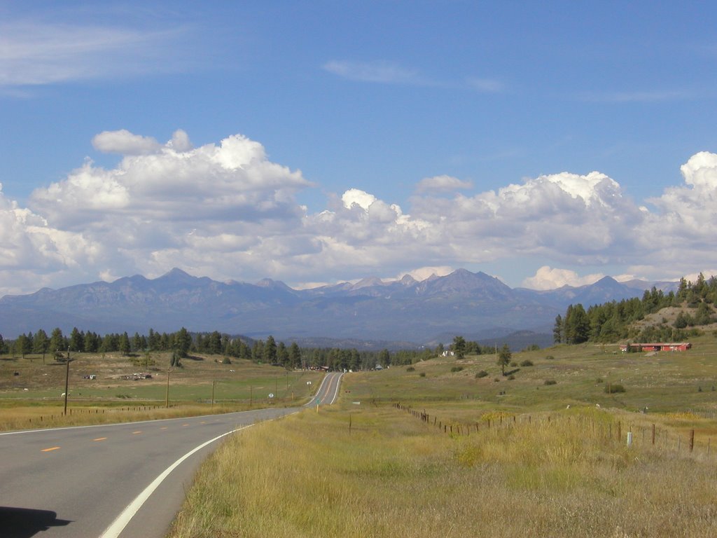
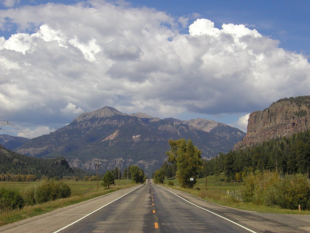
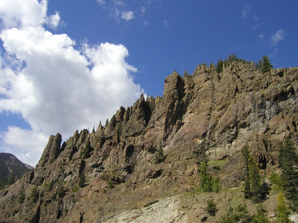
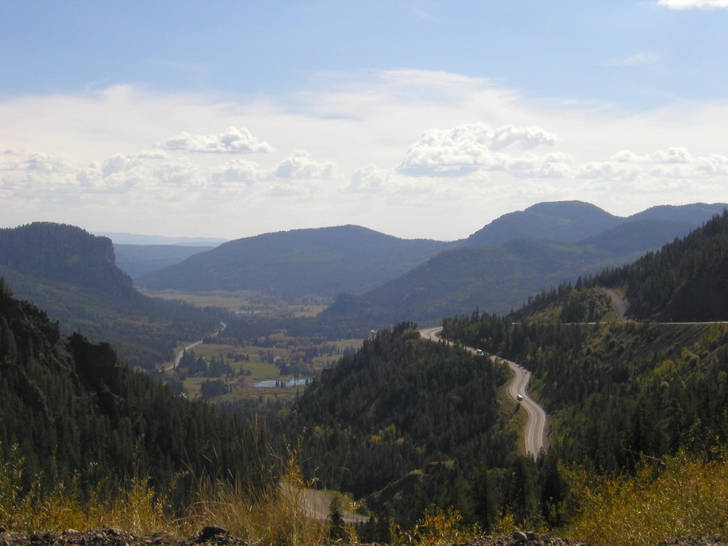
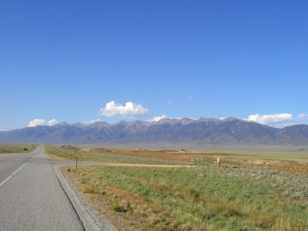
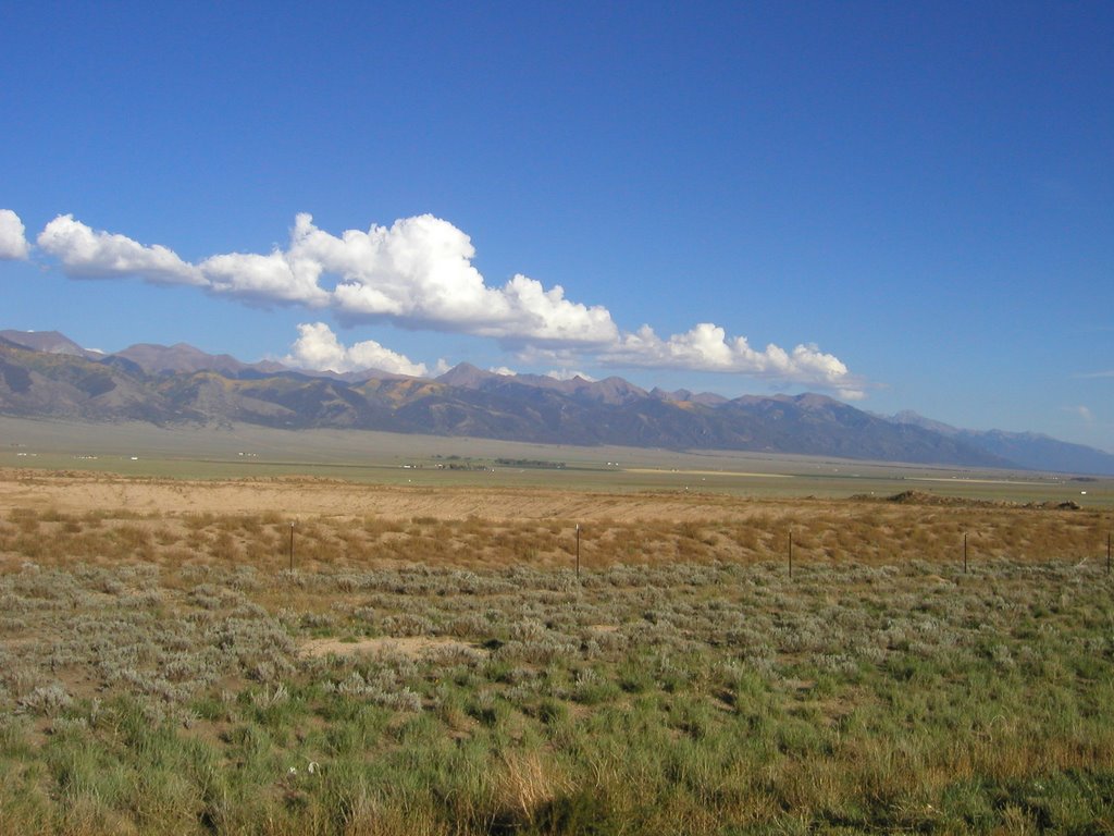
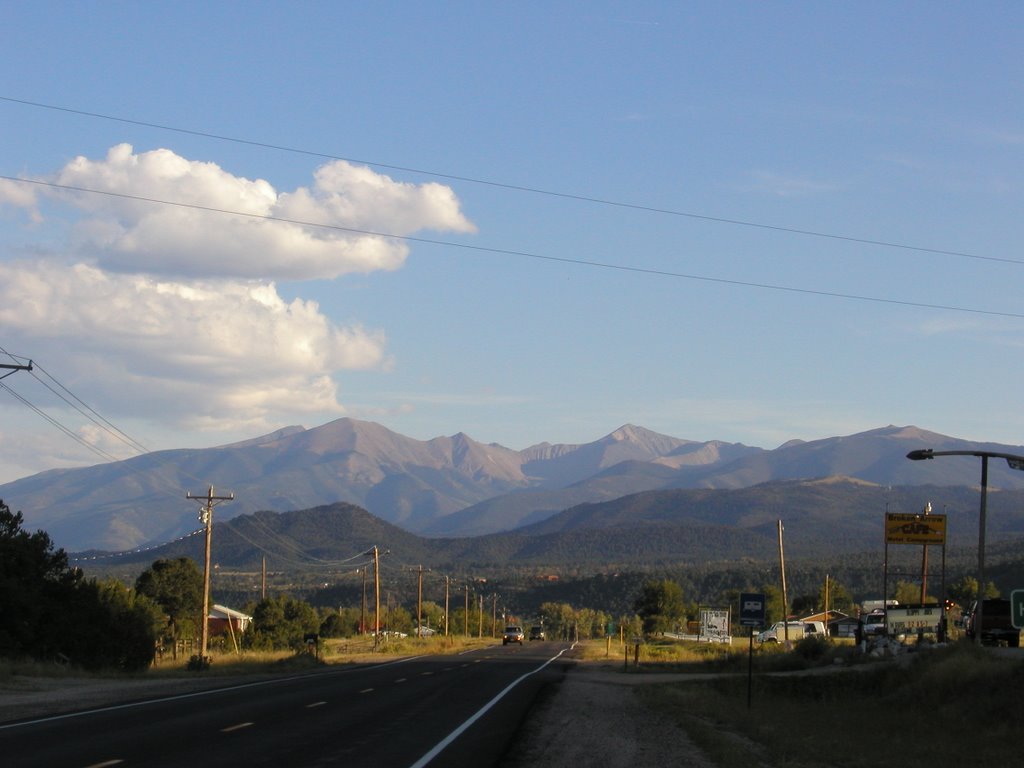
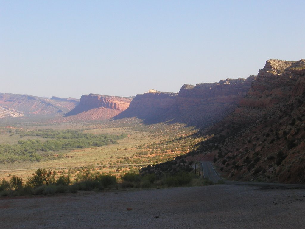
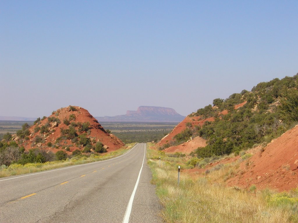
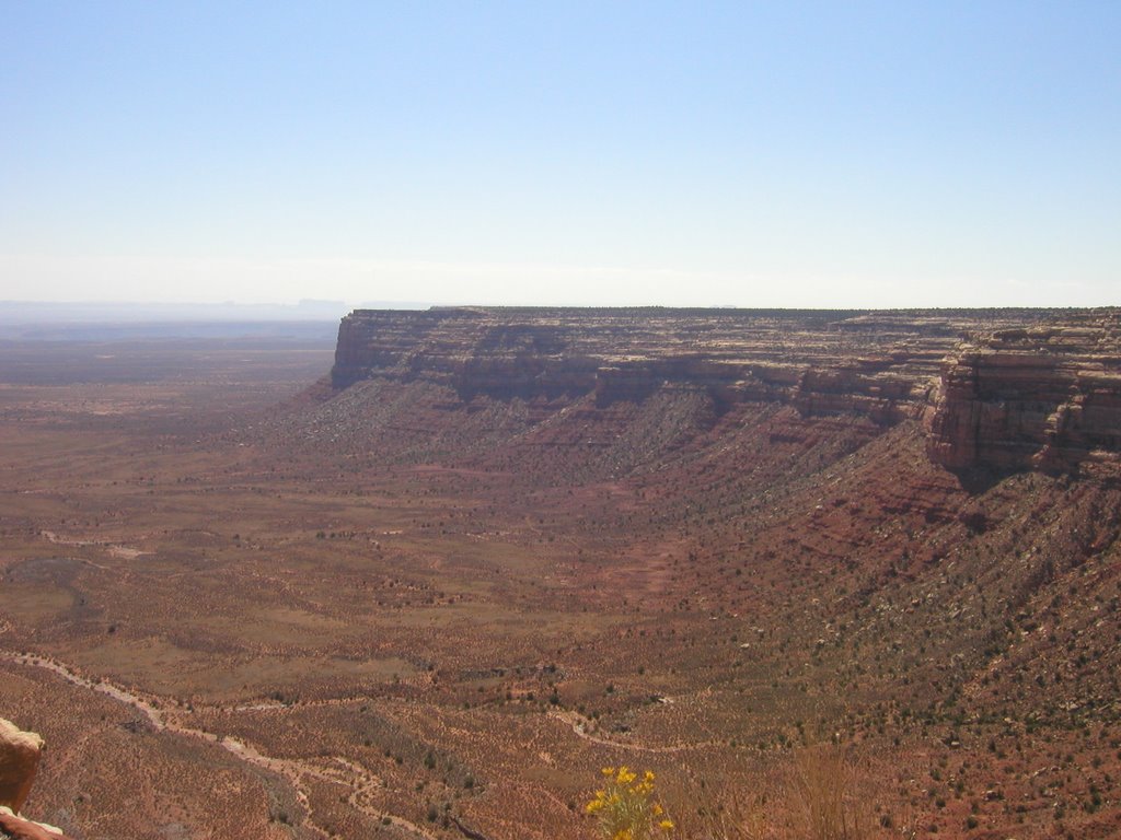
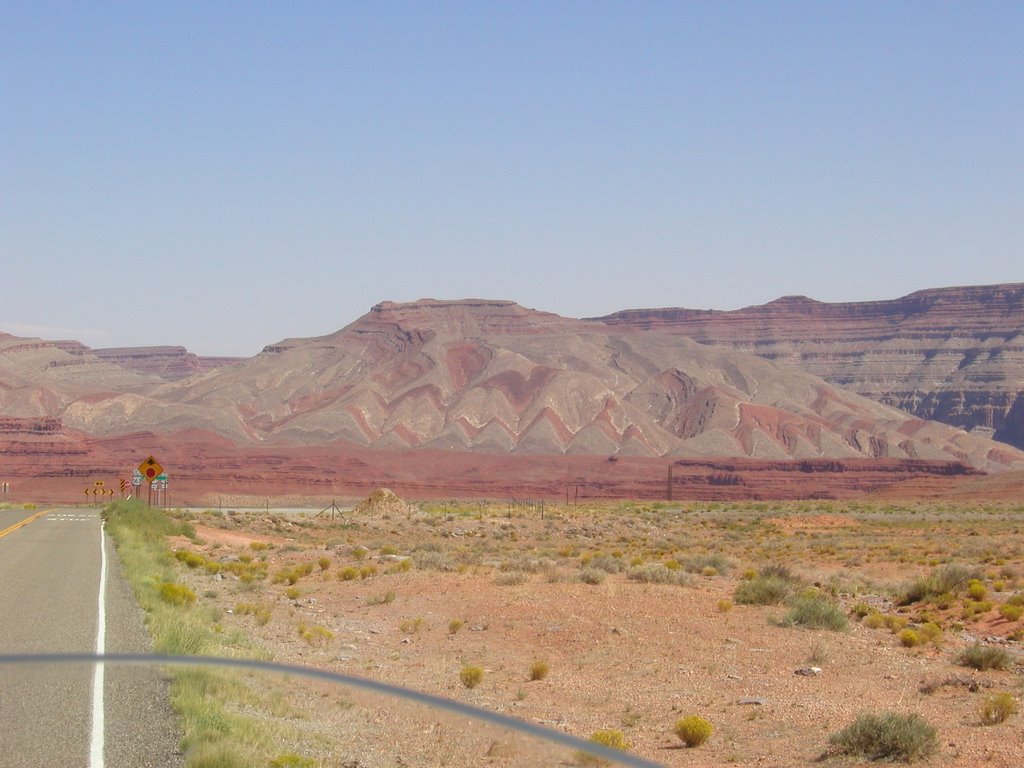
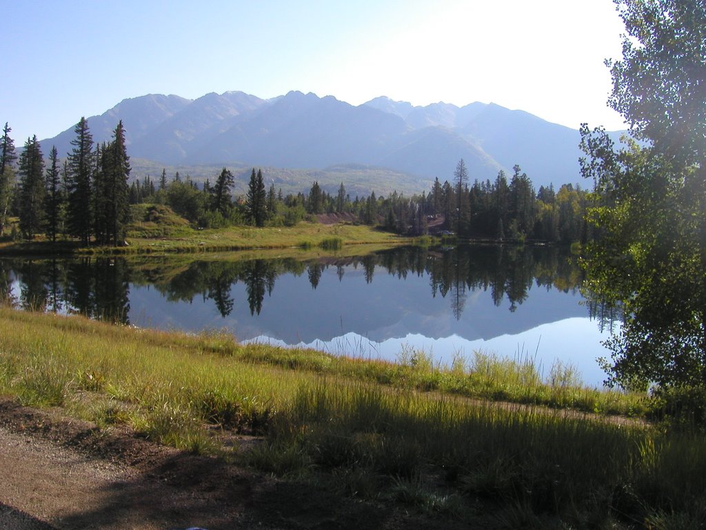
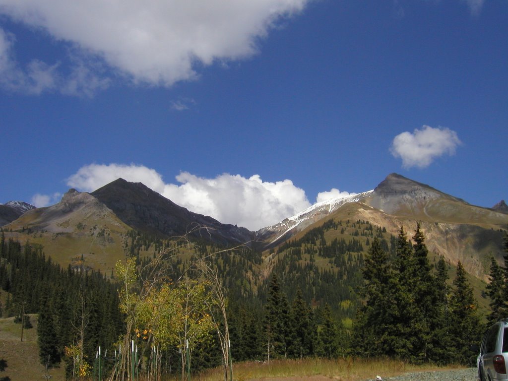
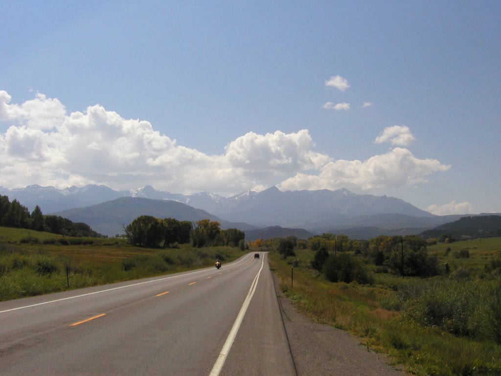
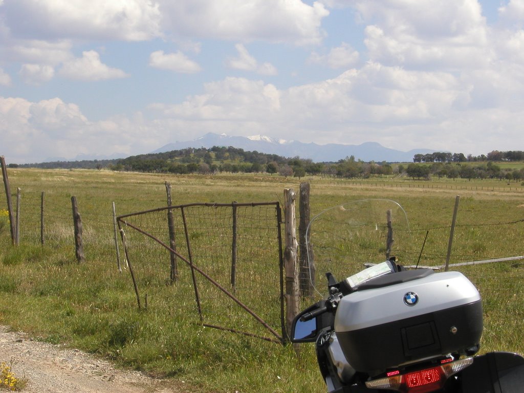
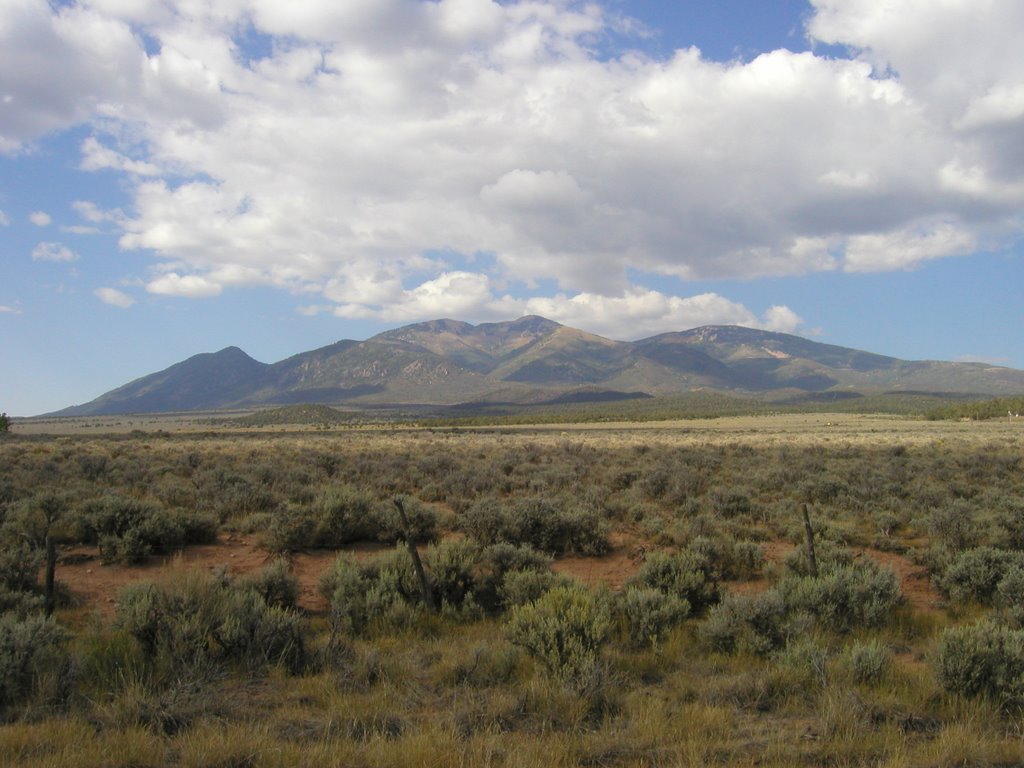
The ride across Colorado was sad. coming out of Colorado Springs I was afraid to look back at the mountains around Pike’s Peak for fear that they would draw me back. Though sad, it was an uneventful crossing; the speed limit was 75 so I had the cruise set on 85 and was making good time.
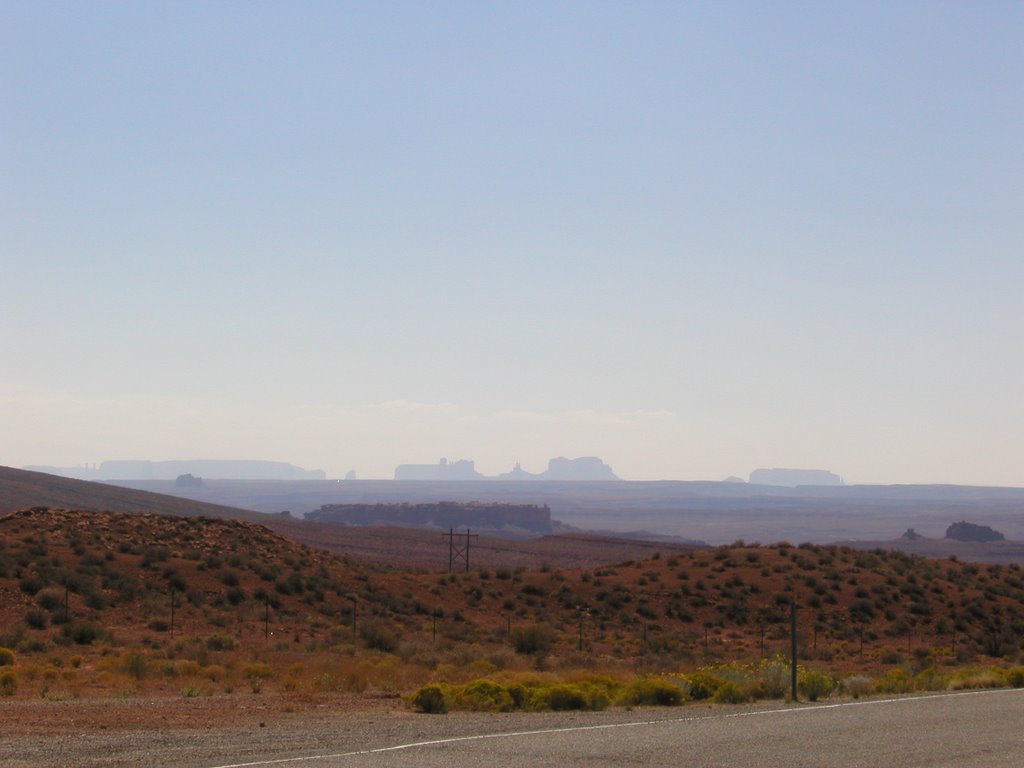
Over the border into Kansas what had been a light breeze from the south turned into a rather determined crosswind. I was not sure how long this was supposed to go on but I hoped it would not be for too long.
The winds became stronger rather quickly and I leaned the motorcycle into the wind in a effort to maintain a straight line. As the speed of the wind picked up it moved up the scale from a minor irritation to a major annoyance and pretty soon I was being buffeted by strong gusts. I was now pissed off and really not looking forward to several hours of this.
It was at that point that Mother Nature served up a surprise in the form of a gust that blew me from the line along the right shoulder across two lanes of interstate to the left shoulder. My first instinct was to brake but you do not want to do that because you have to save all available traction for steering and control.
I checked my mirrors and was glad that the traffic was low enough that I could not even see headlights.
I pressed on and two minutes later, the same thing happened just as I was about to pass a camper traveling on the right shoulder well below the speed limit with its flashers giving warning to approaching motorists.
Okay, now I was scared. In Kansas, everything is miles and miles apart and should anything happen to you it is almost certainly guaranteed that the response time will be far greater than 30 minutes. I slowed down and tucked in behind the camper but after a couple of minutes of chugging along at 45 I decided I could do okay at 60 so I passed it and went about my business at 60 +.
The struggle continued, gusts of wind were tossing me about and causing semi-trailers to weave all over their lanes. You could tell which ones were empty because, like the trees, they leaned with the wind. I stopped at every rest stop (thank goodness there are a bunch of them in Kansas) over the next couple of hours before I stopped for lunch.
At one of the rest stops I saw another BMW pull in as I was getting ready to leave. That same motorcycle was across the street gassing up where I had decided to fill my tank so I went across and pulled into the pump next to him. I turns out he is from BMW Motorcycles of Grand Rapids, MI and used to work for the guy that sold me my bike. I told him that I have dear friends in Spring Lake, MI and I would make it a point to stop in on my next trip.
We talked about the wind and how it was knocking us about. Being that he was headed for Michigan, he decided to go north to see if the wind died down some. I told him that with reservations made in Saint Louis I would soldier on in the wind and contact him in the near future to see how his trip went.
With food in my belly, more water and a little rest I paid a little closer attention to the winds and gusts and soon picked up on a pattern that I was able to accurately read proactively or preemptively prepare for. Pretty soon the winds became a second thought as the motorcycle held true to its course after I let go of the death hold I had on the grips.
Although the motorcycle held true to its course it did so at the expense of my head. The windshield can be moved up or down for added or decreased wind protection and unfortunately the winds were strong enough that prior to lunch I did not feel at all comfortable with the windshield up because it acted like a sail and helped with tossing the motorcycle around.
As time wore on and I learned more about how the gusts hit and the dynamics of the bike I was able to ride with it in my normal highway position but with the wind coming from the side the windshield provided very little protection from it. Having learned to hold the motorcycle in a straight line I also learned that some part of this moving unified object had to absorb the energy of the blasts of wind and that moveable part turned out to be my head. Each gust buffeted my head from side to side like a pendulum and they came along fast enough to get under the helmet and make my eyes water. I was just happy that it was not raining too because that would mean that I would have water inside my helmet and that would make for an even more miserable ride.
I was already tired after a couple of hours of this and realizing that I had several more to go I really strongly considered canceling my hotel in Saint Louis and just calling it a day. Then I thought about chilling out in some roadside motel in the middle of Kansas watching a lone tree swaying in the wind and the prospect of a few more hours of bobble head riding was significantly more appealing.
One thing I do know about winds in the plains is they are strongest in the afternoon and then they die down as the sun lowers in the west. With that knowledge I kept moving with the anticipation that this would only last a few hours longer; I had many more than that to ride and focusing on that might help with the fatigue.
Anyone who has ever been on a swimming team knows that the part just before the middle of the race is always the worst. It feels like you have forever to go before the end and that all your energy has been used up so you just wonder how you are going to get it done. That is how it felt. The mid-point of the trek across Kansas is Salina and that was my psychological hurdle. When you have a big job the best way to approach it is to break it up into little pieces. The first piece of this trip was to get across Colorado into Kansas. The second was to get to lunch. The third was to get to Salina and the fourth to Kansas City. I would deal with the rest as it came up.
The stretch from lunch to Salina was three more hours after lunch and I have to say those are the three longest hours I have spent on a motorcycle. So many times I approached an exit and was so tempted to just give up and call it a day but there was always this little voice that told me to get to the next exit.
I blasted passed Salina and the wind died down significantly between Salina and Kansas City. On reaching Kansas City I went into Cracker Barrel and had a great meal, saving the biscuit and corn bread muffin for breakfast the next day.
Leaving the restaurant I pulled out my heated gear so that I would not have to mess with it on the side of the road. I made one stop for gas around eleven or twelve and on getting back on the road there was wind coming up my pant leg and I did not want to have to deal with that distraction all the way into Saint Louis so I took one glove off, stuffed it under me and proceeded to adjust my pant leg. When I went to put my glove back on I realized that it had blown away.
Temperatures were dropping into the low 60’s and the thought of traveling on for another three hours really was not in the least bit appealing but one thing with the cold air hitting my fingers I certainly did not feel all too sleepy anymore.
I took off the remaining glove and rode the rest of the way with my fingerless gloves. When the distance markers indicated I was under a hundred miles to Saint Louis I started to perk up even more and sang along to whatever songs played on the radio – even if I did not know the words, I was just a carrying on like a lunatic. Good thing nobody could hear me murder those lyrics!!
I finally crossed the Missouri and Mississippi rivers and was over the border into Illinois with less than ten miles to the hotel. I turned off the radio and forced myself to pay full attention to the task at hand because this is where accidents happen on a trip – so close to the end that the focus shifts from driving to what will happen at the destination.
It was a little after 2:00 am and I had made it all the way to the hotel without a problem after about 15 hours on the road. The lady at the front desk was amazed that I had ridden all the way there from Colorado Springs in one day. She said her boyfriend has a motorcycle and sometimes they go out for rides when it is in the 60’s but only for a few miles at a time. I showed her my heated gear and she wrote down the name so that she could bring it up with him to see if he would be interested in making her rides more comfortable.
She was so nice and agreed to let me park the motorcycle on the sidewalk next to the front door. I got the motorcycle situated, dragged all my bags inside and was barely out of my clothes when I let myself collapse on the bed in a ragged and worn out heap before pulling the covers over myself and snoring off into a deep, deep sleep.
I took my time eating and whiled away some hours thinking about the mountains and all that is left unseen. Finally I got myself in bed and zonked off into a night of deep sleep – which I needed considering I had a little over 850 miles to do the next day.
When I woke up in the morning I had no desire to leave, no sense of urgency and moved at the speed of a sloth. I did not get on the road until a little after 8:00 and that meant that it was 9:00 where I was going; I already was two hours late getting on the road plus an hour with the time change across time zones ........... I was agitated from the start.
Leaving town in a state of agitation, I paid more attention to the traffic than the road signs and missed my turn, realizing only about 10 minutes later that since I was back tracking through Colorado Springs all of this should look familiar and none of it did. I was on a divided thoroughfare so I had to look for a side street at a light for an opportunity to turn around. I soon did so and was back on my route having killed an additional half hour.
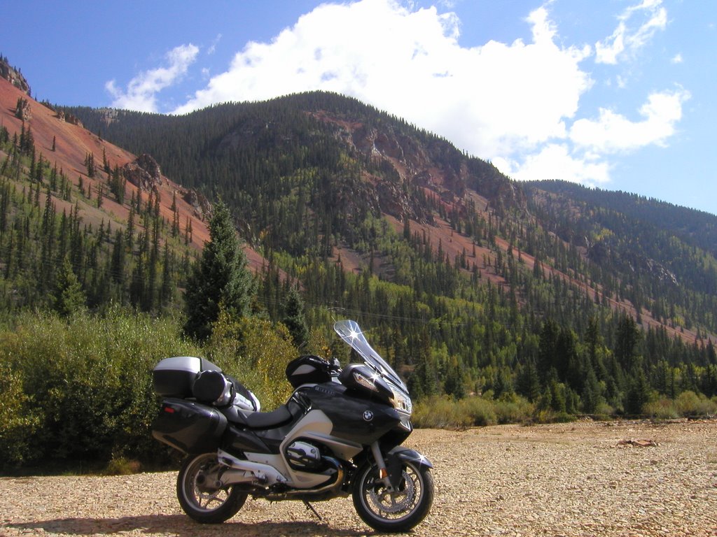
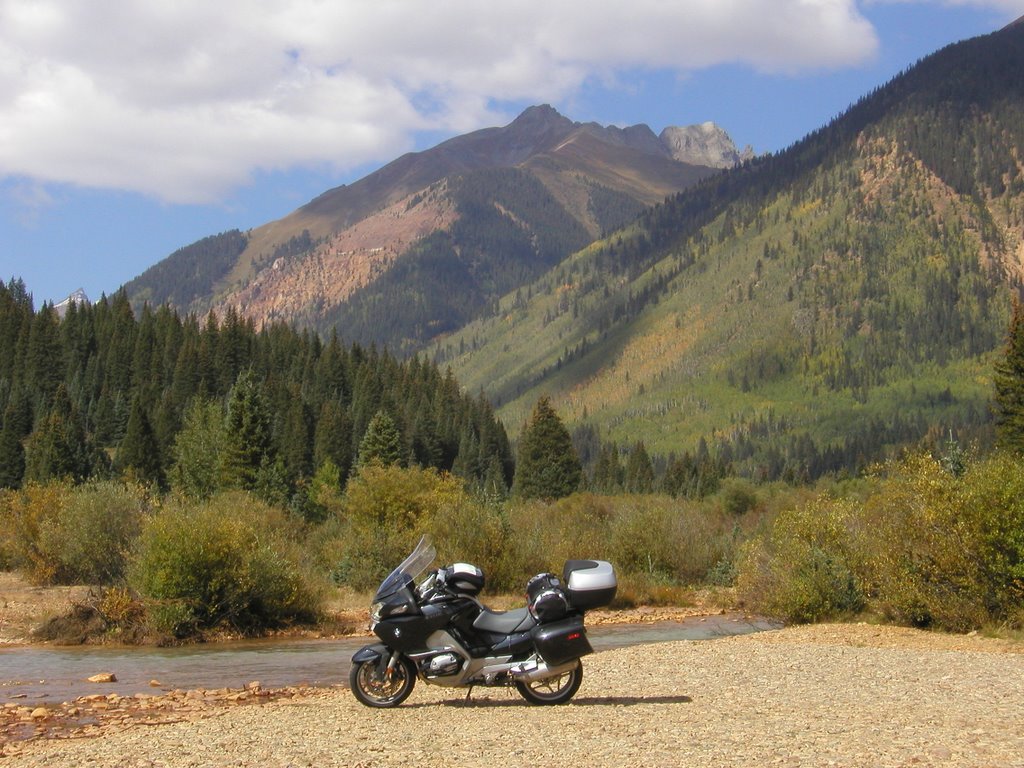
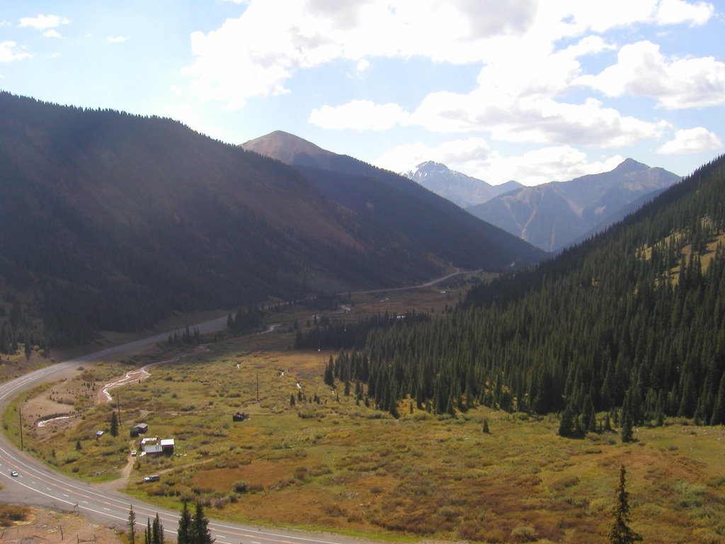
The ride across Colorado was sad. coming out of Colorado Springs I was afraid to look back at the mountains around Pike’s Peak for fear that they would draw me back. Though sad, it was an uneventful crossing; the speed limit was 75 so I had the cruise set on 85 and was making good time.
Over the border into Kansas what had been a light breeze from the south turned into a rather determined crosswind. I was not sure how long this was supposed to go on but I hoped it would not be for too long.
The winds became stronger rather quickly and I leaned the motorcycle into the wind in a effort to maintain a straight line. As the speed of the wind picked up it moved up the scale from a minor irritation to a major annoyance and pretty soon I was being buffeted by strong gusts. I was now pissed off and really not looking forward to several hours of this.
It was at that point that Mother Nature served up a surprise in the form of a gust that blew me from the line along the right shoulder across two lanes of interstate to the left shoulder. My first instinct was to brake but you do not want to do that because you have to save all available traction for steering and control.
I checked my mirrors and was glad that the traffic was low enough that I could not even see headlights.
I pressed on and two minutes later, the same thing happened just as I was about to pass a camper traveling on the right shoulder well below the speed limit with its flashers giving warning to approaching motorists.
Okay, now I was scared. In Kansas, everything is miles and miles apart and should anything happen to you it is almost certainly guaranteed that the response time will be far greater than 30 minutes. I slowed down and tucked in behind the camper but after a couple of minutes of chugging along at 45 I decided I could do okay at 60 so I passed it and went about my business at 60 +.
The struggle continued, gusts of wind were tossing me about and causing semi-trailers to weave all over their lanes. You could tell which ones were empty because, like the trees, they leaned with the wind. I stopped at every rest stop (thank goodness there are a bunch of them in Kansas) over the next couple of hours before I stopped for lunch.
At one of the rest stops I saw another BMW pull in as I was getting ready to leave. That same motorcycle was across the street gassing up where I had decided to fill my tank so I went across and pulled into the pump next to him. I turns out he is from BMW Motorcycles of Grand Rapids, MI and used to work for the guy that sold me my bike. I told him that I have dear friends in Spring Lake, MI and I would make it a point to stop in on my next trip.
We talked about the wind and how it was knocking us about. Being that he was headed for Michigan, he decided to go north to see if the wind died down some. I told him that with reservations made in Saint Louis I would soldier on in the wind and contact him in the near future to see how his trip went.
With food in my belly, more water and a little rest I paid a little closer attention to the winds and gusts and soon picked up on a pattern that I was able to accurately read proactively or preemptively prepare for. Pretty soon the winds became a second thought as the motorcycle held true to its course after I let go of the death hold I had on the grips.
Although the motorcycle held true to its course it did so at the expense of my head. The windshield can be moved up or down for added or decreased wind protection and unfortunately the winds were strong enough that prior to lunch I did not feel at all comfortable with the windshield up because it acted like a sail and helped with tossing the motorcycle around.
As time wore on and I learned more about how the gusts hit and the dynamics of the bike I was able to ride with it in my normal highway position but with the wind coming from the side the windshield provided very little protection from it. Having learned to hold the motorcycle in a straight line I also learned that some part of this moving unified object had to absorb the energy of the blasts of wind and that moveable part turned out to be my head. Each gust buffeted my head from side to side like a pendulum and they came along fast enough to get under the helmet and make my eyes water. I was just happy that it was not raining too because that would mean that I would have water inside my helmet and that would make for an even more miserable ride.
I was already tired after a couple of hours of this and realizing that I had several more to go I really strongly considered canceling my hotel in Saint Louis and just calling it a day. Then I thought about chilling out in some roadside motel in the middle of Kansas watching a lone tree swaying in the wind and the prospect of a few more hours of bobble head riding was significantly more appealing.
One thing I do know about winds in the plains is they are strongest in the afternoon and then they die down as the sun lowers in the west. With that knowledge I kept moving with the anticipation that this would only last a few hours longer; I had many more than that to ride and focusing on that might help with the fatigue.
Anyone who has ever been on a swimming team knows that the part just before the middle of the race is always the worst. It feels like you have forever to go before the end and that all your energy has been used up so you just wonder how you are going to get it done. That is how it felt. The mid-point of the trek across Kansas is Salina and that was my psychological hurdle. When you have a big job the best way to approach it is to break it up into little pieces. The first piece of this trip was to get across Colorado into Kansas. The second was to get to lunch. The third was to get to Salina and the fourth to Kansas City. I would deal with the rest as it came up.
The stretch from lunch to Salina was three more hours after lunch and I have to say those are the three longest hours I have spent on a motorcycle. So many times I approached an exit and was so tempted to just give up and call it a day but there was always this little voice that told me to get to the next exit.
I blasted passed Salina and the wind died down significantly between Salina and Kansas City. On reaching Kansas City I went into Cracker Barrel and had a great meal, saving the biscuit and corn bread muffin for breakfast the next day.
Leaving the restaurant I pulled out my heated gear so that I would not have to mess with it on the side of the road. I made one stop for gas around eleven or twelve and on getting back on the road there was wind coming up my pant leg and I did not want to have to deal with that distraction all the way into Saint Louis so I took one glove off, stuffed it under me and proceeded to adjust my pant leg. When I went to put my glove back on I realized that it had blown away.
Temperatures were dropping into the low 60’s and the thought of traveling on for another three hours really was not in the least bit appealing but one thing with the cold air hitting my fingers I certainly did not feel all too sleepy anymore.
I took off the remaining glove and rode the rest of the way with my fingerless gloves. When the distance markers indicated I was under a hundred miles to Saint Louis I started to perk up even more and sang along to whatever songs played on the radio – even if I did not know the words, I was just a carrying on like a lunatic. Good thing nobody could hear me murder those lyrics!!
I finally crossed the Missouri and Mississippi rivers and was over the border into Illinois with less than ten miles to the hotel. I turned off the radio and forced myself to pay full attention to the task at hand because this is where accidents happen on a trip – so close to the end that the focus shifts from driving to what will happen at the destination.
It was a little after 2:00 am and I had made it all the way to the hotel without a problem after about 15 hours on the road. The lady at the front desk was amazed that I had ridden all the way there from Colorado Springs in one day. She said her boyfriend has a motorcycle and sometimes they go out for rides when it is in the 60’s but only for a few miles at a time. I showed her my heated gear and she wrote down the name so that she could bring it up with him to see if he would be interested in making her rides more comfortable.
She was so nice and agreed to let me park the motorcycle on the sidewalk next to the front door. I got the motorcycle situated, dragged all my bags inside and was barely out of my clothes when I let myself collapse on the bed in a ragged and worn out heap before pulling the covers over myself and snoring off into a deep, deep sleep.
posted by Bongo | 5:35 PM
|
0 comments
![]()
![]()